Crewkerne is a small market town located in South Somerset, England.
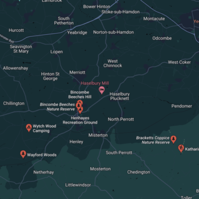
Noted for its antiquarian bookshops, antique shops, plus a good selection of traditional heritage inns, Wytch Wood Camping is located just 3-miles from Crewkerne.
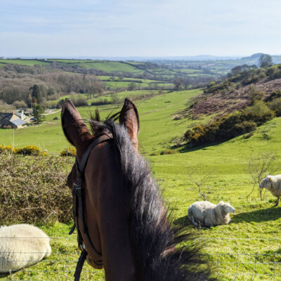
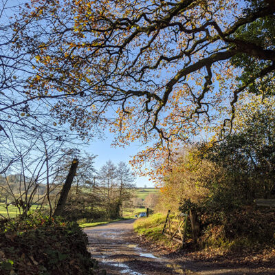
Crewkerne stands in the valley of the river Parret, on the Yeovil and Exeter railway, surrounded by a wide amphitheatre of hills between Dorset and Yeovil. The surrounding fields and hills are crossed by public footpaths and bridleways which are enjoyed by local walkers and riders.
Keep in mind that the availability of trails and their conditions might have changed (based on the season) so it’s a good idea to verify the information locally before setting out on any trail.
1. Crewkerne Town Trail
This is a short circular walk that takes you through the historic town of Crewkerne. It offers a chance to explore the town’s architecture, landmarks, and history.
2. Ham Hill Country Park
Not far from Crewkerne, Ham Hill is a country park with various walking trails that offer stunning views of the surrounding countryside. It’s known for its Iron Age hill fort and limestone quarries.
3. Blue Plaque Trail
This is an easy walk to visit all the Blue Plaque Buildings in Crewkerne. This walk is on roads and footpaths.
4. Crewkerne to Chard Walk
This walk takes you from Crewkerne to the nearby town of Chard, passing through picturesque countryside. The route may vary, but it’s worth exploring the footpaths and trails connecting these two towns.
5. Parrett Trail
The Parrett Trail is a long-distance footpath that follows the River Parrett through the Somerset Levels. While not directly starting from Crewkerne, you can access parts of this trail by traveling a short distance.
6. Leland Trail
The Leland Trail is a long-distance footpath that passes through Crewkerne. It commemorates the antiquarian John Leland and offers a diverse range of landscapes.
7. Cathole Bridge Road Circular
This is a pleasant countryside trail taking you through the farmlands around Crewkerne and Misterton where you can enjoy the views over the fields and keep an eye out for wildlife.
8. Crewkerne and District Walking Group
Check if there are any local walking groups in Crewkerne that organize group walks and hikes. They can often introduce you to lesser-known trails and provide a social aspect to your walks.
9. Ordnance Survey Maps
Consider getting an Ordnance Survey (OS) map of the area, which will show you the footpaths, bridleways, and trails around Crewkerne. This can be especially useful for creating your own routes.
Remember to wear appropriate clothing and footwear, take plenty of water and snacks, and let someone know about your planned route if you’re heading out on a longer walk.
Always follow the countryside code and respect the local environment while enjoying your walks. It’s also recommended to check for any updates or trail closures before setting out.


